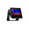
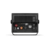
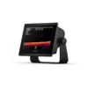
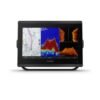
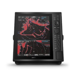
GPSMAP: GET A SHARPER VIEW FROM YOUR CONNECTED HELM
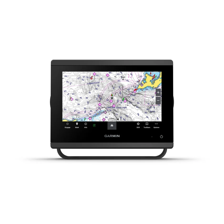
With its sleek design, GPSMAP has a powerful processing and upgraded IPS display, this advanced 7”, 9” or 12” chartplotter integrates seamlessly into your Garmin marine system.
– Easily integrate with more engines.
– Connect to compatible third-party devices with OneHelm™ digital switching.
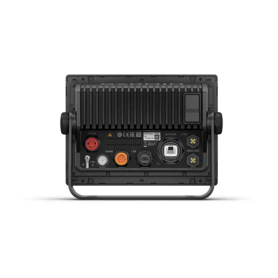
– Easily build your marine system using the best of network connectivity.
– Navigate any waters with preloaded Garmin Navionics+™ charts and mapping1.
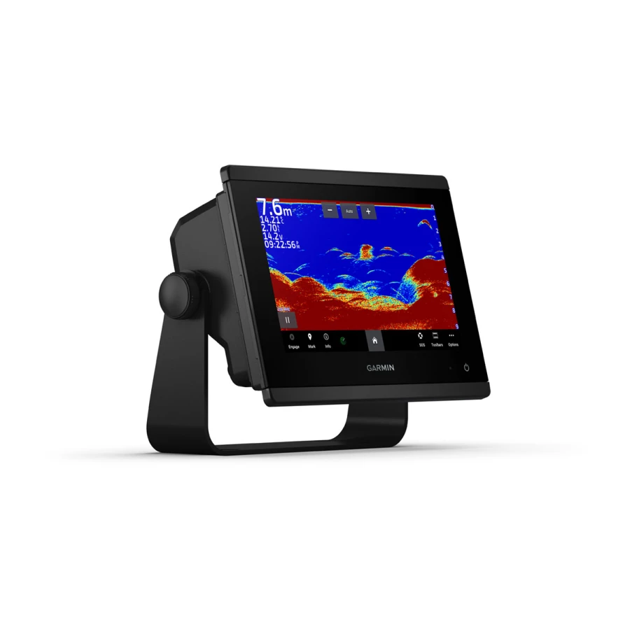
– See below your boat with built-in sonar capabilities.
– Manage your marine experience from nearly anywhere2.
ULTRA HIGH-DEFINITION SCANNING SONAR
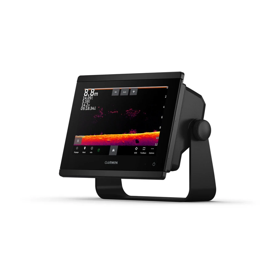
Get built-in Ultra High-Definition SideVü and ClearVü scanning sonars with vivid, high-contrast color palettes to help distinguish fish from structure. GPSMAP X3 series also supports 1 kW CHIRP traditional sonar capabilities.
FASTER, SHARPER, SMARTER
With its added processing power and new slimline design featuring edge-to-edge glass and a smaller unit footprint, it’s easy to retrofit this plotter in a wider range of dash configurations.
IMPROVED DISPLAY OPTICS
New higher-resolution IPS displays for 9” and 12” plotters offer improved sunlight readability and visibility from any angle, with 50% more pixels than previous-generation 9” GPSMAP devices.
PRELOADED MAPPING
Experience unparalleled coverage and detail with built-in Garmin Navionics+ integrated coastal and inland mapping that includes Auto Guidance+ technology3 and a 1-year subscription for downloadable daily updates and more on select chartplotters.
OPTIONAL CHARTS AND MAPS
Bring a fresh new look and feel to your chartplotter with optional upgrade to Garmin Navionics Vision+ premium chart subscription, featuring downloadable high-resolution relief shading, satellite imagery, sonar imagery and more.
OPTIONAL RADAR BUNDLE
To help you avoid weather and traffic on the water, the compact 4 kW GMR 18 HD+ dome radar is available as a bundled option with your GPSMAP chartplotter/sonar package.
POWER-POLE SHALLOW WATER ANCHOR
By networking select Garmin chartplotters with a Force trolling motor and your compatible Power-Pole shallow water anchoring system, you can access advanced boat control features6 from your plotter, including smart anchor auto-deployment, smart anchor jog, auto stow, anchor drag detection and auto guidance7 end-of-route anchoring. Spend more time fishing, less time positioning.

